
NCEI/DCDB data extraction
Perform the following steps to extract CSB data from the DCDB:
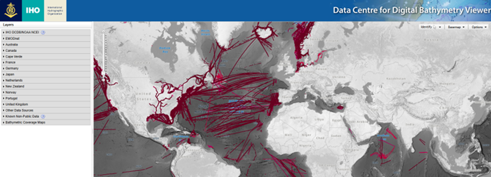
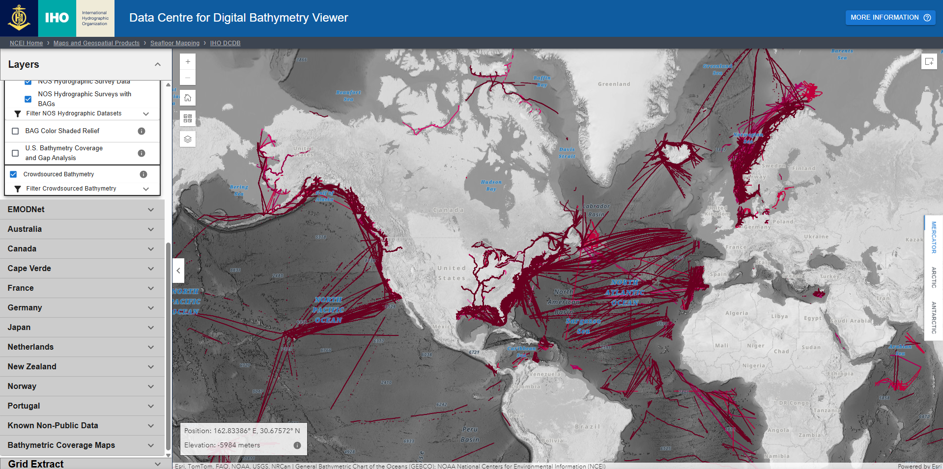
- Go to the IHO Data Centre for Digital Bathymetry
Viewer.Viewer.
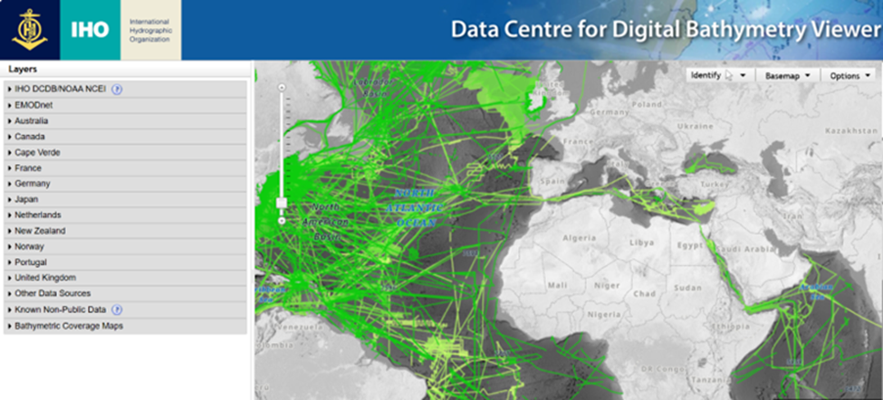
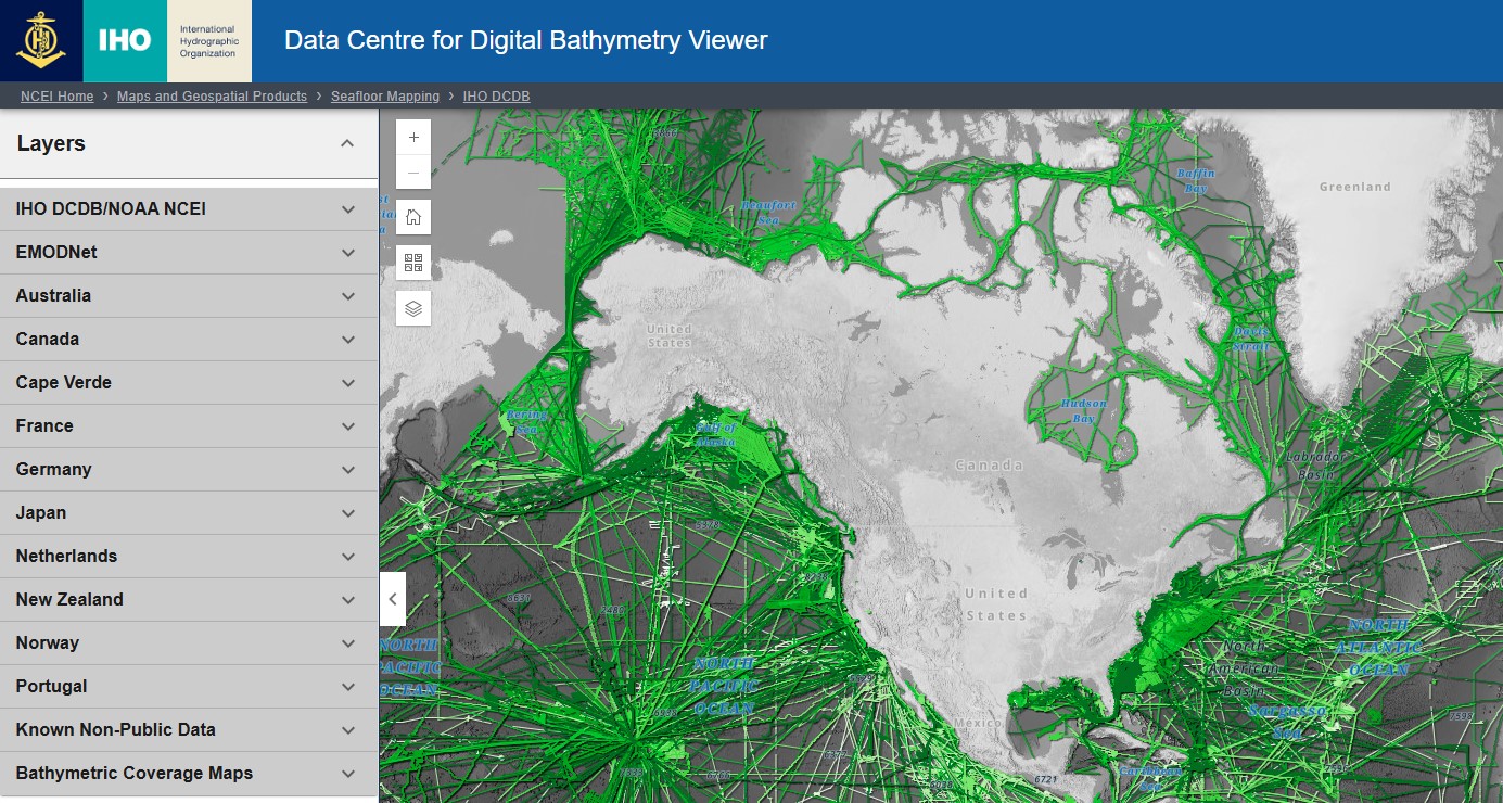
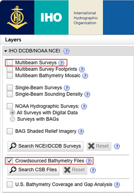
- Click the IHO DCDB/NOAA NCEI drop down menu, uncheck the ‘Multibeam
SurveysDataset’layerlayer(s) and select the ‘Crowdsourced BathymetryFiles' layer.
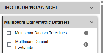

- As an alternative to steps 1 and 2, you can use this link (bookmark it) to navigate directly to the CSB data, instead of having to deselect the multibeam data
- Zoom in on the area from which you want to extract
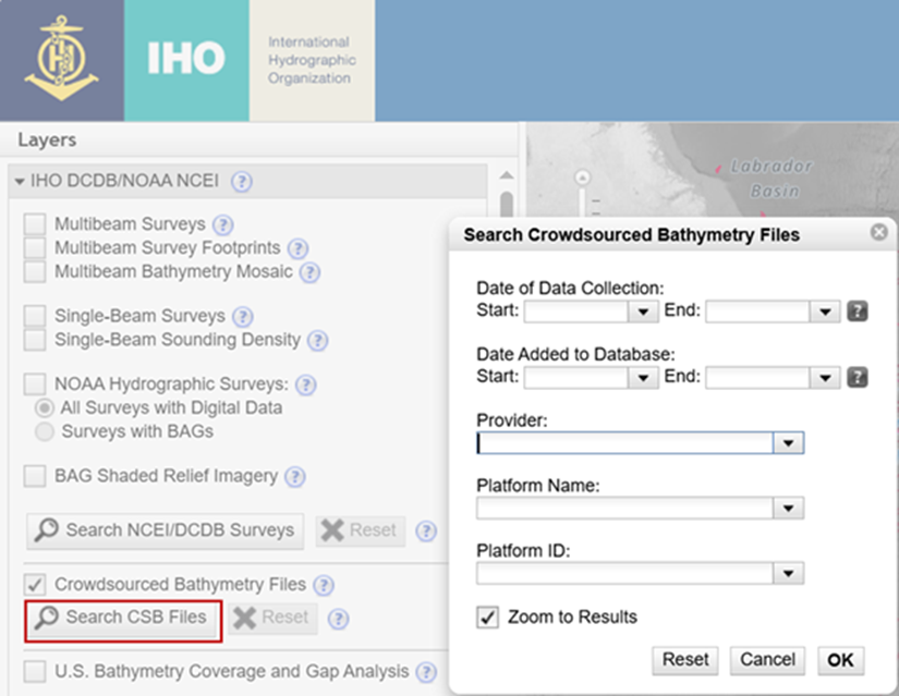
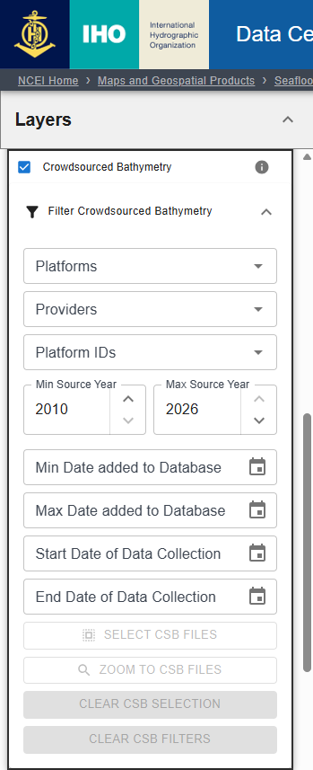
data from.data. You can alsoselectopen the ‘SearchFilterCSBCrowdsourcedFilesBathymetry’ carat to filter for a certain date range, Provider (Trusted Node), or PlatformName(vessel name).,Youand zoom to filter results. This filter service automatically populates the filter as URL parameters, and you cancurrentlycopyonlyandsearch by one 'Platform Name' at a time, butpaste/save theDCDBfilteredisURLsworkingforoneaseenablingofmulti-platformreference.searches.
- When you are ready to extract data, click to expand the '
IdentifyFilter by Geometry'drop-downmenu and select the option you would like to use. You may select a bounding box by clicking and dragging on the map, or enter max/min coordinates.
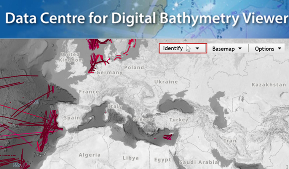
- Draw your bounding area of interest, select ‘Extract NCEI/DCDB Data’ and choose the ‘Extract CSB Point Store Data.’ You will be prompted to enter an email address where the link to download files will be sent to. Do not check the box for ‘Create Grid.' Leave the default for the rest of the options.
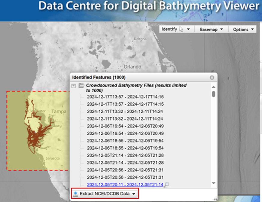
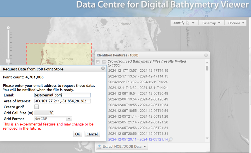
- Depending on the current volume of requests and the size of your requested area, you should receive an email with a link to download your data within a few minutes.

Your CSB data are now downloaded and ready to have Pydro tidal corrections applied.